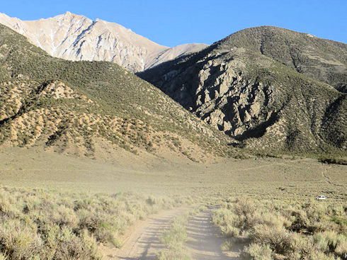
June 12-14, 2013. 13-466, #14 This was an out of state Mutual Aid coordinating resources between CalEma and Nevada's equivalent agency. SAR teams responded from Mineral County, Mono County, and Inyo County. A 54 year old man from Chicago called 911 on 6/12/13 claiming to be cliffed out on Boundary Peak. Shortly afterward, he called again and said that he was no longer cliffed out but needed to gain 1000 feet and wanted to know which way to go to his car. No further communication was heard from him. His car was still at the Trail Canyon trailhead the next morning.
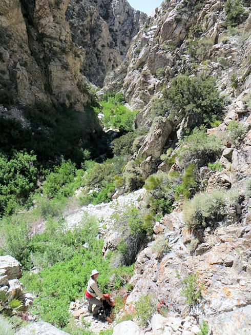
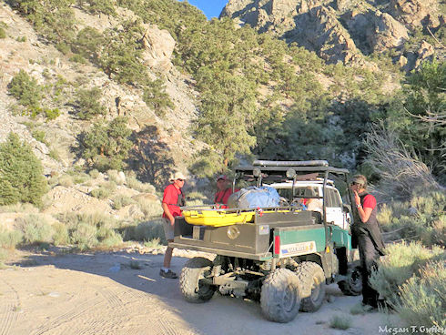
Esmeralda County does not have a SAR team and asked for assistance from Mono County. The Team responded with three off road patrol teams and two teams ascending a difficult and narrow drainage leading to the last known point (LKP) from cell phone pings. CHP helicopter H40 responded from Fresno and was able to fly for about an hour before strong winds forced them to return to their base.
Mineral County SAR responded with one team who checked the Boundary Peak Register and got above the LKP with no clues or track. Friday the Team started at 0600 assisted by two members from Inyo SAR. Five Teams were dispatched to the field. Team one ascended Morris Creek, Team two ascended an unnamed peak for optical searching and relay. Team three cut track from Trail Canyon saddle, Team four prepared for an overnight to the LKP from above and Team five traversed the ridge across from the cliffs.
At 1000 two Pave Hawk helicopters from Nellis AFB responded and within an hour had located the subject walking towards the west side of the Morris Creek drainage not far from our Team heading up. The subject was hoisted into the helicopter and was transported to the Command Base, then flown to Inyo hospital for further treatment. Responders were: Vetter (Ops), Corning (Ops), Scotese, Holmquist, G. Goryl, A. Goryl, Guffey, Leyen, Beck, C. Schilz, Barnum, Case, Hartstrom, Dodson, DeGeorge, and Buccowich.
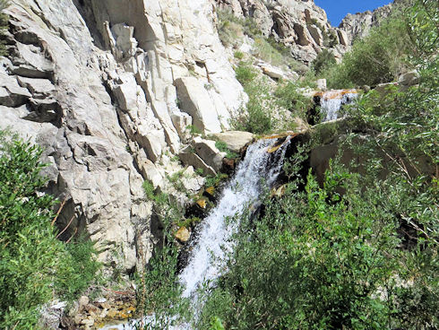
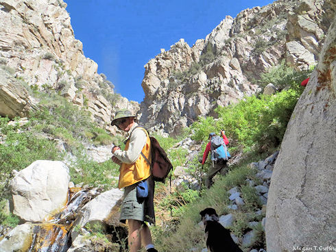
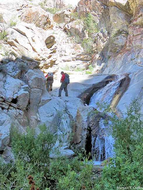
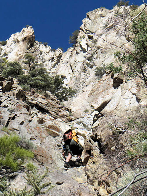
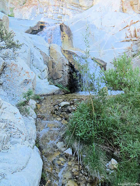
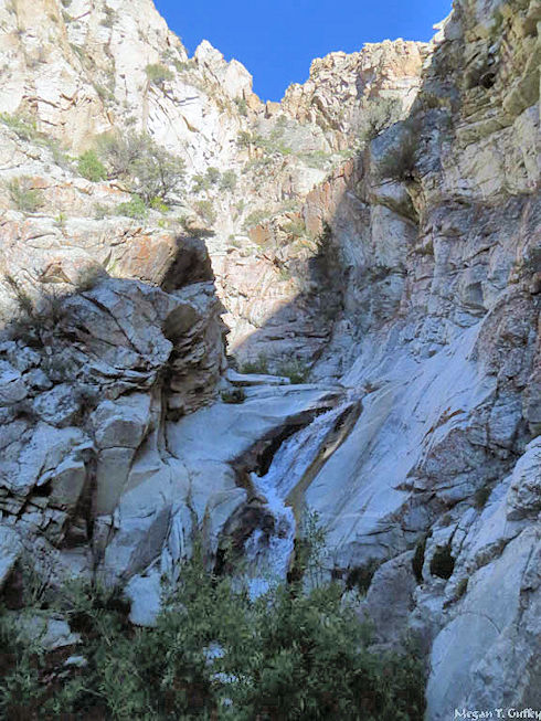
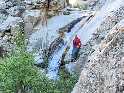
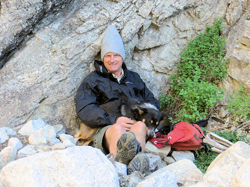
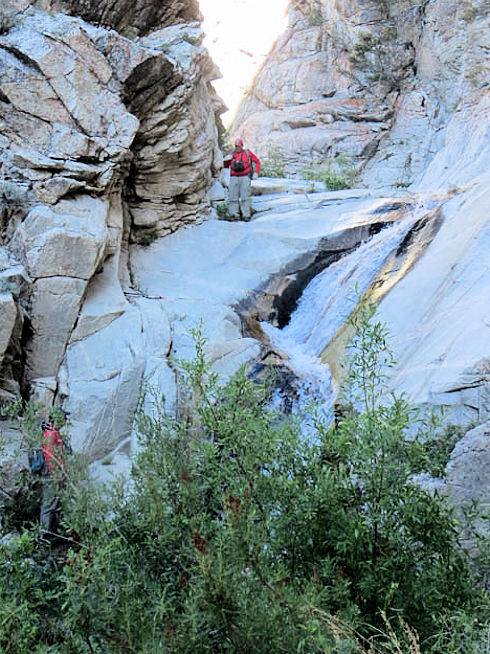
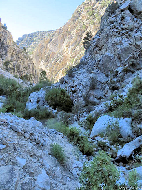
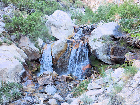
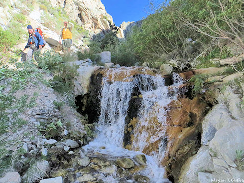
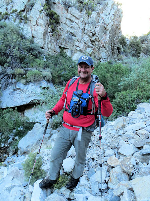
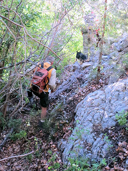
These pictures show the rugged and picturesque Morris Creek search route.
